Don't leave port without it
Real-time Gulf Stream charts, waypoints and routing from satellite oceanographer Jenifer Clark.
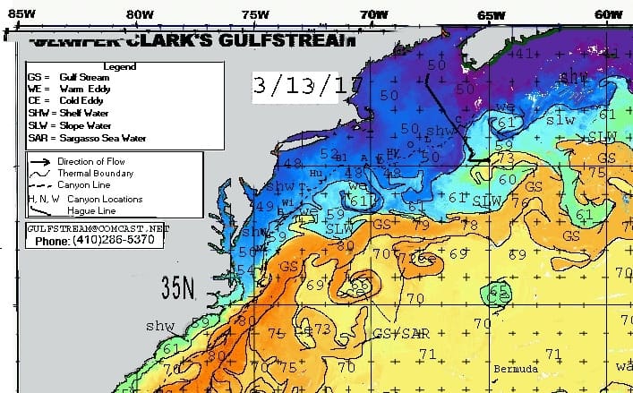
Ocean charts made three times a week
Using infrared imagery, satellite altimetry data and surface isotherm data, we produce oceanographic analyses for the Gulf Stream area and all the major currents of the world.
Waypoints come with them, so you can take advantage of favorable currents and avoid unfavorable ones.
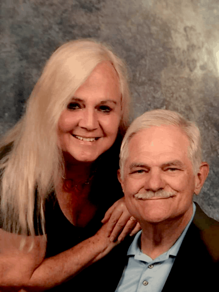
Jenifer and Dane Clark
Jenifer is a professional satellite oceanographer known as "The Gulfstream Lady." Dane is a professional meteorologist. Each has spent more than 38 years supporting the marine community.
They have briefed the Newport to Bermuda, Annapolis to Bermuda and Marion to Bermuda races for over thirty years, and supported record-setting swimmers, rowers and sailors.
Who we route for
- Swimmers Weather windows and current routing for open-water swims.
- Rowers Ocean and weather support for long-distance rows.
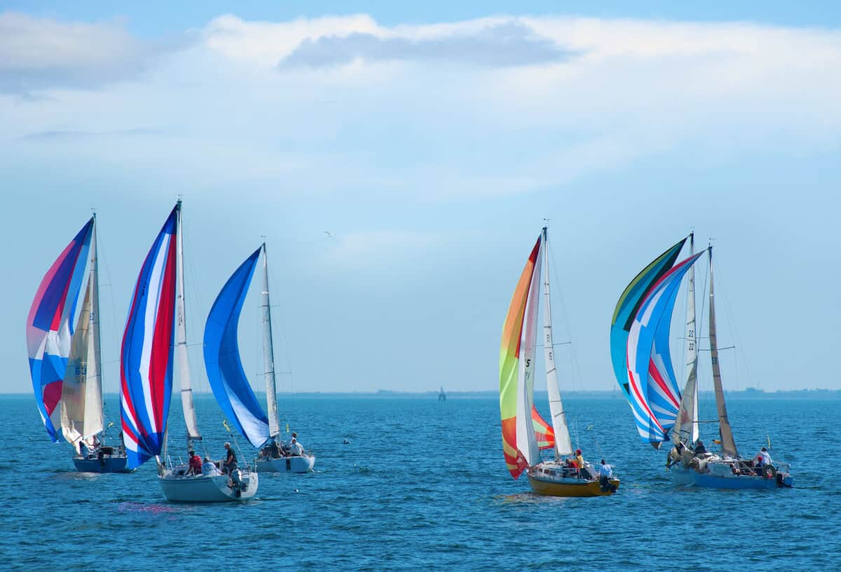
- Sailboat racers Gulf Stream analysis and waypoints for offshore races.
- Cruisers Yacht routing for passages and boat deliveries.
- Rescue and tug Forecasts for recoveries, tows and barge trips.
Race support
Thirty ocean charts from March through June, plus a final detailed ocean write-up with waypoints. $395 for everything.
For race weather, Jenifer refers her clients to Ken McKinley of Locus Weather, an excellent marine meteorologist with many years of race experience.
Ken McKinley, locusweather.com
207-236-3935 office, 207-596-4972 cell
[email protected]
"In the Gulf Stream we found 5+ knots for four and a half hours. Your analysis was very accurate, and the positive current we found was a huge factor in our overall victory."